by admin | Feb 18, 2014 | Easy/Moderate Hiking Trails, Hiking By Difficulty, Hiking By Distance, Hiking Trails - Over 1.0 Mile, North Carolina State Park Trails, State Park Hiking Trails
Trail head: West Jefferson, North Carolina
Distance: 1.7 miles
Duration: 1 hour
Skill Level: Easy/Moderate Hiking Trails
Overview:
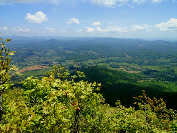
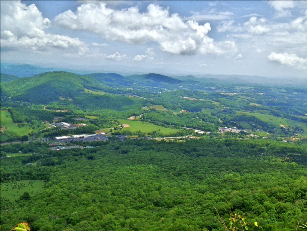
Mount Jefferson State Park Hiking Trails is located in West Jefferson North Carolina. The trail takes you from the parking lot where you can have a picnic up to the top of the ridge where the cell tower is and along certain outcroppings of rock where the views are picture perfect and worth a snapshot with the iPhone or camera. The the trail starts to follow its way back down the back side of the ridge and turning around headed back to the parking lot but at a lower elevation. It finally meets up with the main trail you started on going up tot the top of the ridge. This is definitely a great hike during a clear summer day or to see vast fall colors from the surrounding mountains.
Tips:
Make sure when you start up the hill you stop by the bathrooms before the hike.
If you decide to do all three hikes it takes a about an hour.
Mount Jefferson State Park trail Map
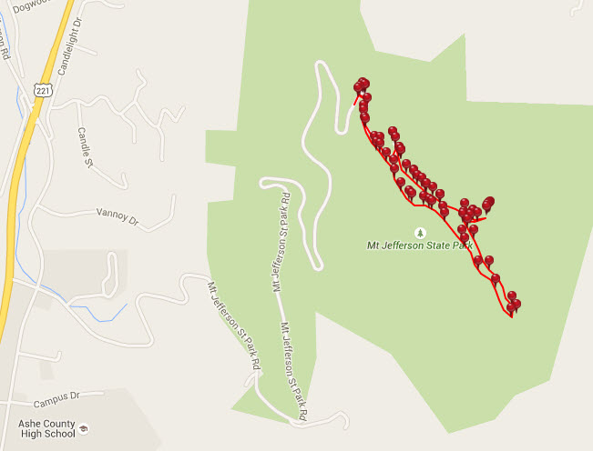
Photo Gallery
*Click on thumbnails for larger viewing and slideshow
by admin | Apr 8, 2013 | Easy Hiking Trails, Hiking By Activity, Hiking By Difficulty, Hiking By Distance, Hiking Trails - Under 1.0 Mile, Hiking Trails Blue Ridge Parkway NC, North Carolina Mountain Hiking Trails, North Carolina Overlook Mountain Trails, Overlook Hiking Trails
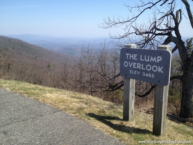
Trail head: Walsh, North Carolina
Distance: 0.2 miles
Duration: 9 minutes
Skill Level: Easy
Overview:
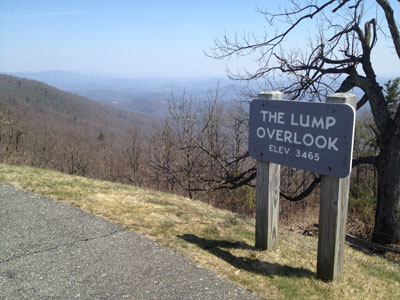
The Lump Trail is located at milepost 264.4 off the Blue Ridge Parkway. The Lump Trail is an extremely short hike up the adjacent hill behind the fence and is 0.3 miles up the hill and back. The Lump Trail has a beautiful scenic view of the mountains from the overlook and an even better view from the top of the hill. To the left of the overlook sign is a picnic table with a view. Also the top of the hill is a great place to stop, get some sun, and have a picnic.
Photo Gallery
*Click on thumbnails for larger viewing and slideshow
by admin | Apr 8, 2013 | Hiking By Activity, Hiking By Difficulty, Hiking By Distance, Hiking National Parks, Hiking Trail Guides by State, Hiking Trails - Over 2.0 Miles, Hiking Trails Blue Ridge Parkway NC, North Carolina Mountain Hiking Trails, North Carolina Overlook Mountain Trails, North Carolina Visitor Center Trails, Overlook Hiking Trails, Strenuous Hiking Trails, Visitor Center Hiking Trails, Waterfall Hiking Trails
Trail head: Milepost 299 Blue Ridge Parkway
Distance: 2.1 miles
Duration: 2 hrs
Skill Level: Very Strenous
Overview:
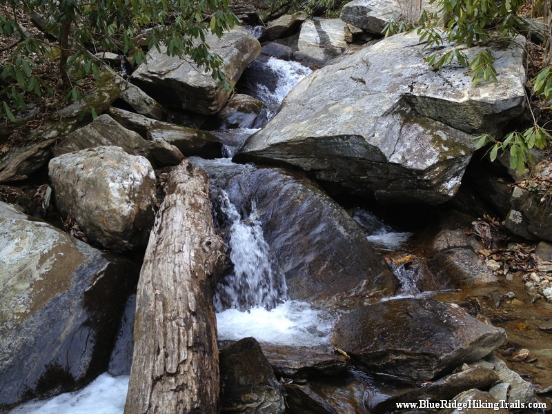
Gully Creek Trail starts at the Blue Ridge Visitor Center, Cumberland Knob, at milepost 217.5 off the Blue Ridge Parkway. Go past the visitor center from the parking lot and look towards the view behind the building and turn left. This is the start of the trail. At the trail head there is a sign Warning: strenuous 2.1 miles, well they were right. The first 10-15 minutes are not difficult as you go back and forth down the mountain. The sides of the trail are dangerous and very steep, one wrong step and you will fall down the mountain. You must be careful and pay attention at all times until you get closer to the bottom near the stream. Gully Creek Trail is one of the most difficult trails I have traversed due to the rushing water coming down the creek towards the bottom of the mountain. The water is running very fast in many places over the rocks where there is no crossing rocks to step on. We had to go ankle deep in some spots and slipped a few times on the rocks. We went very slow and still ended up with some scrapes and bruises. Once you are close to the bottom you are in a ravine following the creek down valley. Here the trail crosses many times back and forth across the creek. This continues until you reach the one mile point and your final crossing leads you past a ragged rock on your right side and then you start the ascent and climb up the other side.
The path starts off kind of easy and then gets harder as your legs get tired until you reach a flatter spot in the trail; you think that you are at the top and the trail then continues upward likes it never ends winding back and forth across the mountain. This part is about 0.7 miles long until you reach a fork in the road (a good resting spot and a quick drink of water) where you can continue straight towards the picnic area bringing you back to the visitor center and parking lot. We chose to go left which takes you up another steep hill for 0.4 miles until you reach Cumberland Knob. At the top you will see a shelter with with a fireplace and a grassy flat area. The trail continues past the shelter and starts down hill and comes out at the visitor center and the parking lot.
Tips:
This trail is not for younger kids that have not been hiking before, my daughter who is seven years old was able to do it with a lot of help from me crossing the creek. This is not a beginner trail at all, make sure you have plenty of water, a backpack with new socks and good hiking boots.
Photo Gallery
*Click on thumbnails for larger viewing and slideshow


