Bass Lake-Moses Cone Memorial Park-Blowing Rock

Bass Lake-Moses Cone Memorial Park-Blowing Rock

BRHT3


Trail head: Blowing Rock, North Carolina
Distance:
1 mile
Duration: 25 minutes
Skill Level: Easy/Moderate Hiking Trails


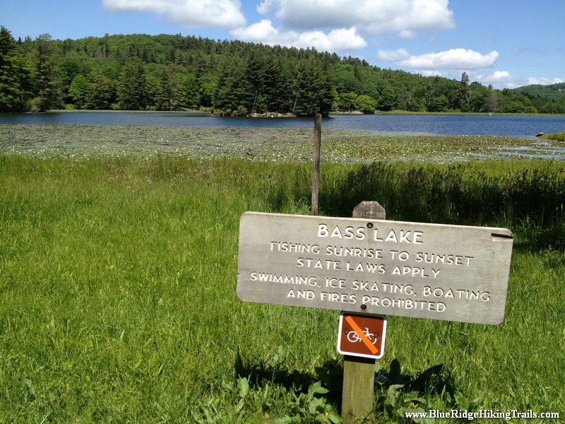
Overview: This is a very family walking trail in Blowing Rock North Carolina. It is part of the Moses Cone Memorial Park Trail system. The hike is about one mile in length but is a beautiful walk around the lake during any season. This hiking trail is a great stretch your legs type of hike after you have been driving in the car all day. Pets are welcomed on this trail but must be on a leash. I would definitely recommend this hike during the fall season for a brisk walk and great picture taking.


Tips:

  • Make sure you have comfortable shoes
  • There is a bathroom and a water fountain at the parking lot
  • Make sure your pet is on a leash
  • There are no bicycles allowed on this trail system due to horseback riding

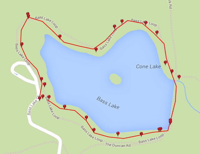
Bass Lake Loop Trail Map
bass lake loop


Photo Gallery

*Click on thumbnails for larger viewing and slideshow

Craggy Gardens & Pinnacle-Blue Ridge Parkway-Milepost 364

Craggy Gardens & Pinnacle-Blue Ridge Parkway-Milepost 364

BRHT42


Trail head: Milepost 364 Blue Ridge Parkway
Distance:
0.9 miles
Duration: 60 minutes
Skill Level: Moderate Hiking Trail


Overview:
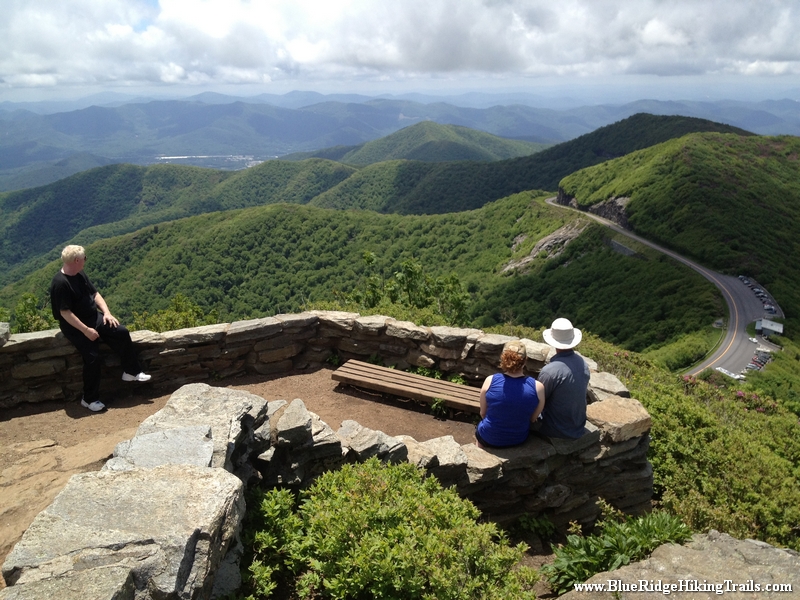
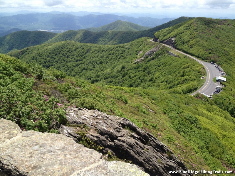
Craggy Gardens and Craggy Pinnacle Trail is one of the most beautiful trails to hike on the Blue Ridge Parkway when the Rhododendrons are blooming forming a canopy of magenta and purple color against the greenery and the Blue Ridge Mountains.

Craggy Gardens is located on milepost 364 on the Blue Ridge Parkway and is about 1hr 30 min from Banner Elk North Carolina.

Your trail hike starts in the parking lot…we parked in the lower parking lot showing you a magnificent  180 degree panoramic video of the Blue Ridge mountains. Then continue to the upper parking lot where you will see the parkway sign “Craggy Dome” the trail head is just on the other side indicated by a sign. The first part of the trail is covered by color as the plants create a canopy in which you walk under on the trail. The first part of the journey is a gradual climb; then you reach a bend and a nice elevated rock with a view.

The trail then leans more upward until it reaches a fork to the right where there is a plateau and many scenic overlooks. As you loop back around the trail with a sign states left to the upper lookout and right to the lower lookout. The lower lookout just allows you to see the visitor center and the mountains in the distance about a 180 degree view. If you want to feel like you are on top of the world take the upper lookout trail until you reach the rock wall with stairs. As you emerge from the stairs you will see a 360 degree lookout with a beautiful scenic landscape of the Blue Ridge mountains, the Asheville watershed lake, and more.

What goes up must come down as the walk down the mountain trail is a lot more easier than going up.


Tips:

  • Great Mountain Views
  • Family friendly trail
  • Moderate Hiking Trails
  • Hiking shoes or sneakers
  • Camera or video recorder
  • Bottle of water
  • Plan the hike on a nice sunny day

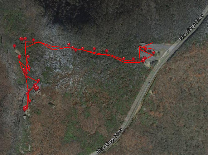
Craggy Gardens Trail Map
craggy pinnacle


Photo Gallery

*Click on thumbnails for larger viewing and slideshow

Mount Mitchell Lookout Tower-Blue Ridge Parkway-Milepost 355.4

Mount Mitchell Lookout Tower-Blue Ridge Parkway-Milepost 355.4

Mount Mitchell 12


Trail head: Milepost 355.4 Blue Ridge Parkway
Distance:
0.5 miles
Duration: 6 minutes
Skill Level: Moderate / Strenuous


Overview:

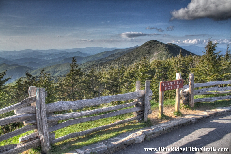
Lofty Mount Mitchell, near Burnsville, North Carolina, rises to an elevation of 6,684 feet and is the highest mountain east of the Mississippi River. The mountain is the centerpiece of the 1,946-acre Mount Mitchell State Park, which is easily accessible off the Blue Ridge Parkway.

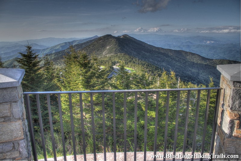
Mount Mitchell State Park offers numerous hiking trails as well as a museum, restaurant, concession stand and gift shop. A new observation deck, accessible by wheelchair, offers breathtaking panoramic views.

Mount Mitchell State Park contains extensive spruce-fir forest, an ecosystem that is common in northern climes, but which is only found in a narrow band in the Appalachian Mountains. This natural community is characterized by evergreens, particularly red spruce and Fraser fir.

Some of the uncommon animals that inhabit Mount Mitchell are the endangered northern flying squirrel, New England cottontail, bobcat, and many species of salamanders. Some of the birds that breed here are more typical of northern conifer forests: red-breasted nuthatch, brown creeper, and golden-crowned kinglet.

Long before it was a State Park, Mount Mitchell was a popular tourist destination. In the 1920s, after the logging operations ceased on the mountain, the former logging railroad from the nearby town of Black Mountain was converted into a tourist train. Three years later, the rails were removed, and the rail bed became a motor toll road. For more than a decade, tourists visited the area along this route, until the construction of the Blue Ridge Parkway put the toll road out of business.

The mountain was named in honor of Dr. Elisha Mitchell, an educator and scientist from Chapel Hill, who died while climbing the mountain in 1857 in his effort to prove it was the highest peak in eastern North America. The grave of Dr Mitchell lies next to the observation deck.

Click on the link below to hear more in a Living Traditions Moment


Hours of Operation

Park hours are:

November – February 8 am – 6 pm
March – April 8 am – 8 pm
May – August 8 am – 9 pm
September – October 8am – 8 pm

During the winter months, the Park is often inaccessible from the Parkway due to snow and ice. The Park is closed on Christmas Day.

Park office hours are 8 am – 5 pm daily. In the winter months, the office is closed on weekends.


Admission Fees

There is no fee to enter the Park, but there is a charge for campsites.

Picnic shelters are offered for free on a first-come, first-served basis, but can be reserved in advance for $33 a day.

Hours of operation and fees are subject to change. Contact directly for most current information.


Location

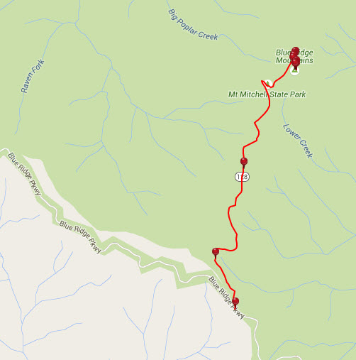
Mount Mitchell State Park is located off the Blue Ridge Parkway. At milepost 355.4, turn north on NC 128 and go 2.4 miles to the Park entrance.

Mount Mitchell State Park
2388 State Highway 128
Burnsville, NC 28714
(828) 675-4611


Tips:

  • Safe place to let the kids out to run around around.
  • Great spot for a picnic or something to drink.
  • Do not need any hiking shoes for this walk.
  • Bring the Camera for mountain view photos, 360 degree views

Mount Mitchell Lookout Tower Trail Map
mount mitchell lookout tower


Photo Gallery

*Click on thumbnails for larger viewing and slideshow

Fort Loudon Vonore TN Walking History Trail

Fort Loudon Vonore TN Walking History Trail

Fort Loudon 29


Trail head: Fort Loudon, Tennessee
Distance:
0.6 miles
Duration: 31 minutes
Skill Level: Easy


Overview: On one of my sales trips I wanted to go on a hike and the locals told me to check out Fort Loudon in Tennessee. Being a history buff and seeing many forts across the east coast growing up. I went to go hike the trail.

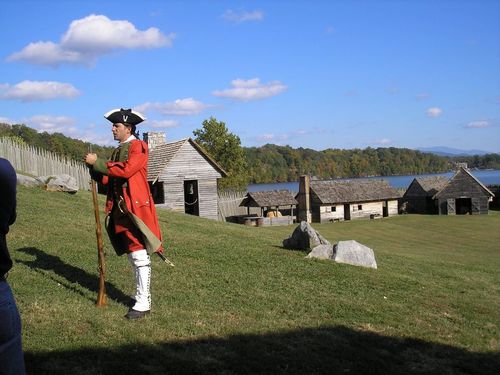
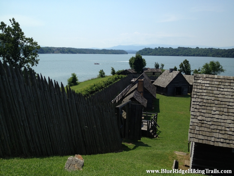
Fort Loudoun was a British colonial-era fort located in what is now Monroe County, Tennessee, United States. Built in 1756 and 1757 to help garner Cherokee support for the British at the outset of the Seven Years’ War, the fort was one of the first significant British outposts west of the Appalachian Mountains.

Fort Loudoun State Historic Park is 1,200-acres and is one of the earliest British fortifications on the western frontier, built in 1756. The fort was reconstructed during the Great Depression and was designated a National Historic Landmark in 1965.

During the French and Indian War (1754-1763) the British Colony of South Carolina felt threatened by French activities in the Mississippi Valley. To counter this threat, the Colony sent the Independent Company of South Carolina to construct and garrison what became Fort Loudoun. This move helped to ally the Overhill Cherokee Nation in the fight against the French and guaranteed the trade would continue between the Cherokee and South Carolina.

In the course of the fort’s four year existence, relations between South Carolina and the Cherokee Nation broke down. In August 1760, the Cherokee captured Fort Loudoun and its garrison. After the surrender in 1760, Fort Loudoun was never used again for any military purpose. It is thought the Cherokees destroyed the fort sometime shortly after the English marched away.

Nature reclaimed the site and there was no public recognition of the Fort until 1917. In November of that year the Colonial Dames of America placed a commemorative marker at the Fort Loudoun site. In 1933, the Tennessee General Assembly purchased the site of Fort Loudoun and created the Fort Loudoun Association to manage it. The Fort Loudoun Association ran the site for nearly 45 years until it became a Tennessee State Park in 1977.

Today, the reconstructed fort and the ruins of the 1794 Tellico Blockhouse overlook TVA’s Tellico Reservoir and the Appalachian Mountains.

Fort Loudoun State Park’s interpretative center offers information on the area’s history and artifacts that were excavated prior to the Fort’s reconstruction from the French and Indian War. There is an auditorium that features The Fort Loudoun Story, a 30 minute video about the history of the site.
Along with living history and monthly interpretive programs, the park hosts several popular seasonal events such as, the 18th Century Trade Faire in September and Christmas at Fort Loudoun which provide a living history of the fort.

For more information, please contact Fort Loudoun State Park directly at 423-884-6217.

Tips:

  • Water Bottle
  • Bring Camera
  • Regular shoes
  • Family oriented

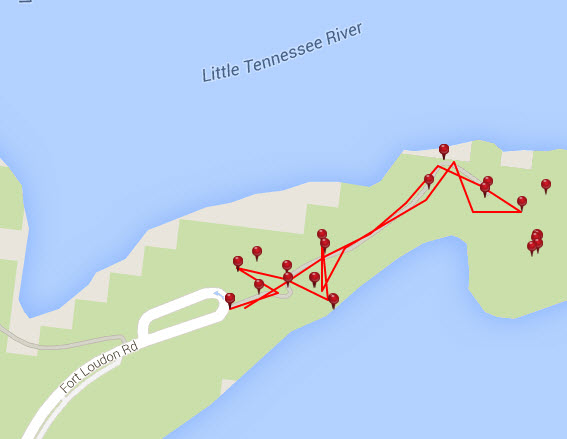
Fort Loudon TN Trail Map
fort loudon tn map


Photo Gallery

*Click on thumbnails for larger viewing and slideshow

Figure 8 Loop Trail-Moses Cone Memorial Park-Blue Ridge Parkway

Figure 8 Loop Trail-Moses Cone Memorial Park-Blue Ridge Parkway

Figure 8 Trail Moses Cone 17


Trail head: Milepost 293-295 Blue Ridge Parkway
Distance:
0.4 miles
Duration: 12 minutes
Skill Level: Easy

Overview:
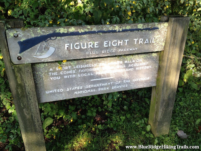
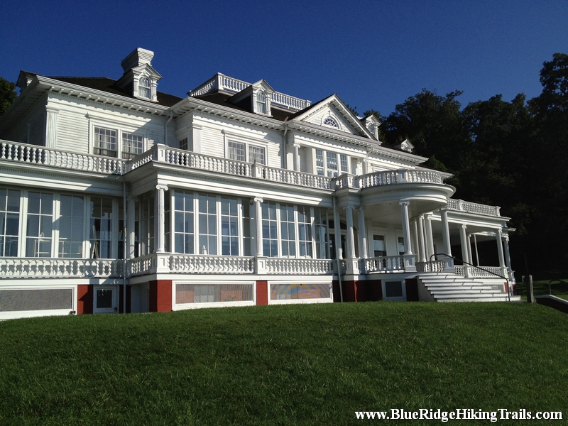
Arrive at Mose Cone Memorial Park on the Blue Ridge Parkway. Head down the stairs to the parkway craft center. Go past the Moses Cone home on the right and you will see the figure eight trail sign. This is a good leg stretcher that is easy for weary travelers who have been on the parkway for a while in the car and need to get the blood moving and wake up a bit. the trail is a figure eight loop trail that has many signs about the types of trees around the Moses Cone Manor Memorial Park. There are 25 miles of trails at Moses Cone Park please see the following:
Rich Mountain Carriage Trail
Bass Lake Loop Trail
Flat Top Tower Trail
Moses Cone Carriage Trails

Tips:
  • Water bottle
  • Regular shoes or sneakers would be fine for this hike
  • Would recommend this hike to families with small kids

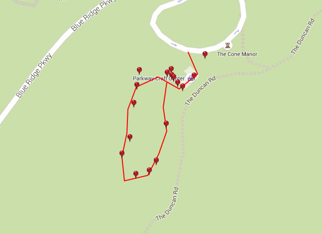
Figure 8 Loop Trail Map
figure 8 loop trail


Photo Gallery

*Click on thumbnails for larger viewing and slideshow

Tate Evans Park-Elk Creek-Banner Elk NC

Tate Evans Park-Elk Creek-Banner Elk NC

Tate Evans Park  05


Trail head: Banner Elk, North Carolina
Distance:
0.3 miles
Duration: 7 minutes
Skill Level: Easy

Overview:
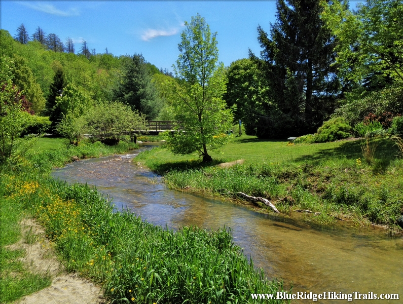
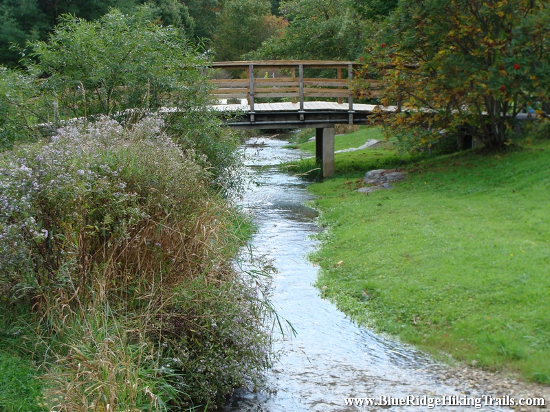
Tate Evans Park located next to town hall in Banner Elk North Carolina is one of the most relaxing parks I have ever been to and has everything for everyone, making it an ideal place to go visit. If you have children they can play in the creek when warmer, use the 2 different playgrounds, swings, ride their bikes around the loop, play volleyball, have a picnic, or walk the dog. There is even shelters  and grills for barbecues, along with two separate bathrooms. The park is used for many great events in town such as the Fourth of July, Christmas tree lighting, Thursday summer concerts, and more.

Tips:
  • Dog park, dog friendly
  • Bathrooms, Picnic Benches, Grill, Shelters
  • Regular shoes or sneakers would be fine for this hike
  • Would recommend this hike to families with small kids
  • Great spot for kids to play on the playground, ride bikes, have picnic, play in the creek

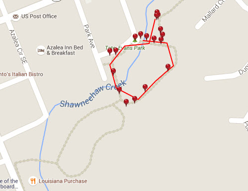
Tate Evans Park Trail Map
tate evans park trail map


Photo Gallery

*Click on thumbnails for larger viewing and slideshow