Elk Knob Summit Trail

Elk Knob Summit Trail

Trail head: approximately 9.5 miles north of Boone. Take Hwy 194

Elk Knob State Park
5564 Meat Camp Road
Todd, NC 28684
Elk.knob@ncparks.gov

Camping reservation: 828-297-7261

After turning a right into the state park at the top of the mountain. You will follow a gravel road for a bit then park in the parking lot.

Distance: 3.8 miles out and back

GPS: 36.332586, -81.69064

Elevation Gain: 1000feet

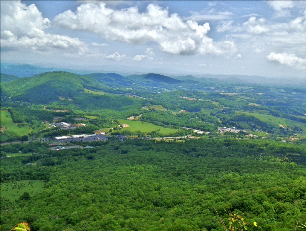
At an elevation of 5520′ , Elk Knob is one of the ,tallest peaks in Watauga county with spectacular panoramic views of the surrounding landscape.

The trail starts off in the parking lot and the trailhead leads upwards in a zig zag fashion. At the 1 mile point you will see an opening with a great mountain view. There is also a bench here to rest your legs preparing for the next mile to the top of the mountain. When you get towards the top of the trees you are almost there. The path at the top says North and South. Get out your camera the views are amazing. Either one has spectacular panoramic views with display panels that identify the mountains views. There are also benches at the top to take in the views and rest a bit if needed.

Crag Way Trail Loop-Grandfather Mountain-Blue Ridge Parkway Milepost 299.9

Trail Head: Boone Fork Parking Area, Blue Ridge Parkway Milepost 299.5
GPS:
36.1199, -81.7815
Distance: 3.68  miles
Duration: 3 hrs 20 minutes
Elevation: 1,056 feet
Skill Level: Strenuous Hiking Trails


Overview: This is a very family walking trail in Blowing Rock North Carolina. It is part of the Moses Cone Memorial Park Trail system. The hike is about one mile in length but is a beautiful walk around the lake during any season. This hiking trail is a great stretch your legs type of hike after you have been driving in the car all day. Pets are welcomed on this trail but must be on a leash. I would definitely recommend this hike during the fall season for a brisk walk and great picture taking.


Tips:

  • Make sure you have comfortable hiking shoes
  • You must sign your name to the Grandfather Mountain List for the Ranger
  • Bring plenty of water at least 2 bottles and a back pack

Bass Lake Loop Trail Map


Photo Gallery

*Click on thumbnails for larger viewing and slideshow


Video View From Flat Rock View on Grandfather Mountain

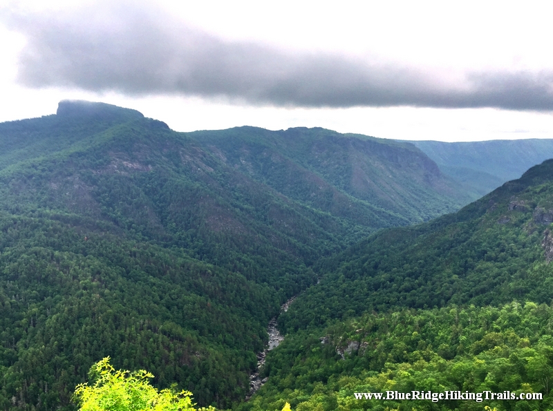
Wisemans View-Linville Gorge Wilderness-Pisgah National Forest

Wisemans View-Linville Gorge Wilderness-Pisgah National Forest

Wisemans View Linville Gorge


Video Taken from the Overlook at Wisemans View


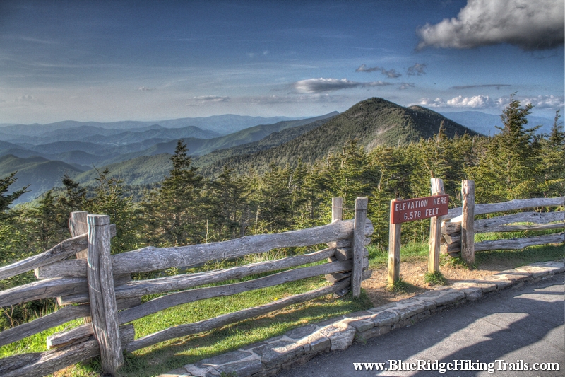
Mount Mitchell Lookout Tower-Blue Ridge Parkway-Milepost 355.4

Mount Mitchell Lookout Tower-Blue Ridge Parkway-Milepost 355.4

Mount Mitchell 12


Trail head: Milepost 355.4 Blue Ridge Parkway
Distance:
0.5 miles
Duration: 6 minutes
Skill Level: Moderate / Strenuous


Overview:

Lofty Mount Mitchell, near Burnsville, North Carolina, rises to an elevation of 6,684 feet and is the highest mountain east of the Mississippi River. The mountain is the centerpiece of the 1,946-acre Mount Mitchell State Park, which is easily accessible off the Blue Ridge Parkway.

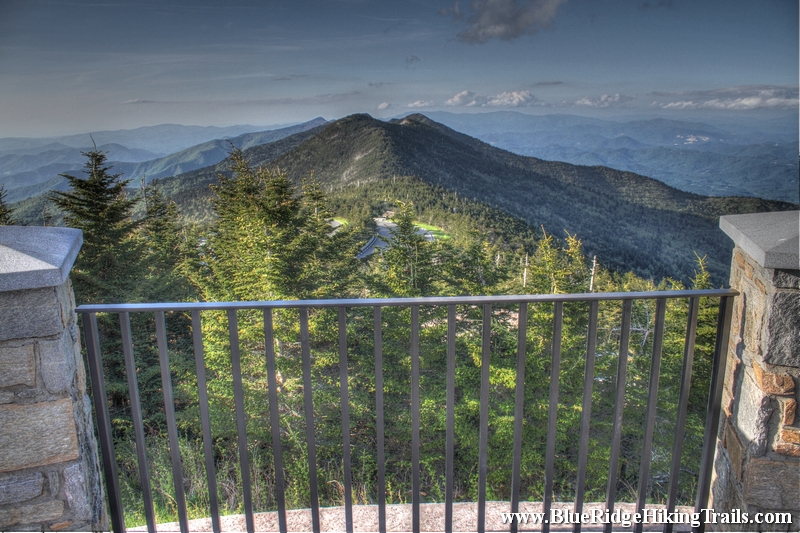
Mount Mitchell State Park offers numerous hiking trails as well as a museum, restaurant, concession stand and gift shop. A new observation deck, accessible by wheelchair, offers breathtaking panoramic views.

Mount Mitchell State Park contains extensive spruce-fir forest, an ecosystem that is common in northern climes, but which is only found in a narrow band in the Appalachian Mountains. This natural community is characterized by evergreens, particularly red spruce and Fraser fir.

Some of the uncommon animals that inhabit Mount Mitchell are the endangered northern flying squirrel, New England cottontail, bobcat, and many species of salamanders. Some of the birds that breed here are more typical of northern conifer forests: red-breasted nuthatch, brown creeper, and golden-crowned kinglet.

Long before it was a State Park, Mount Mitchell was a popular tourist destination. In the 1920s, after the logging operations ceased on the mountain, the former logging railroad from the nearby town of Black Mountain was converted into a tourist train. Three years later, the rails were removed, and the rail bed became a motor toll road. For more than a decade, tourists visited the area along this route, until the construction of the Blue Ridge Parkway put the toll road out of business.

The mountain was named in honor of Dr. Elisha Mitchell, an educator and scientist from Chapel Hill, who died while climbing the mountain in 1857 in his effort to prove it was the highest peak in eastern North America. The grave of Dr Mitchell lies next to the observation deck.

Click on the link below to hear more in a Living Traditions Moment


Hours of Operation

Park hours are:

November – February 8 am – 6 pm
March – April 8 am – 8 pm
May – August 8 am – 9 pm
September – October 8am – 8 pm

During the winter months, the Park is often inaccessible from the Parkway due to snow and ice. The Park is closed on Christmas Day.

Park office hours are 8 am – 5 pm daily. In the winter months, the office is closed on weekends.


Admission Fees

There is no fee to enter the Park, but there is a charge for campsites.

Picnic shelters are offered for free on a first-come, first-served basis, but can be reserved in advance for $33 a day.

Hours of operation and fees are subject to change. Contact directly for most current information.


Location

Mount Mitchell State Park is located off the Blue Ridge Parkway. At milepost 355.4, turn north on NC 128 and go 2.4 miles to the Park entrance.

Mount Mitchell State Park
2388 State Highway 128
Burnsville, NC 28714
(828) 675-4611


Tips:

  • Safe place to let the kids out to run around around.
  • Great spot for a picnic or something to drink.
  • Do not need any hiking shoes for this walk.
  • Bring the Camera for mountain view photos, 360 degree views

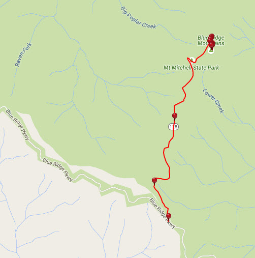
Mount Mitchell Lookout Tower Trail Map
mount mitchell lookout tower


Photo Gallery

*Click on thumbnails for larger viewing and slideshow

Looking Glass Falls-Pisgah National Forest-Brevard NC

Looking Glass Falls-Pisgah National Forest-Brevard NC

Looking Glass Falls Pisgah Forest, NC


Trail head: Millbrook Estates, North Carolina
Distance:
0.01 miles
Duration: 1 minute
Skill Level: Easy

Overview:
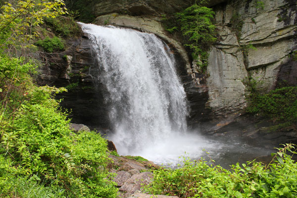
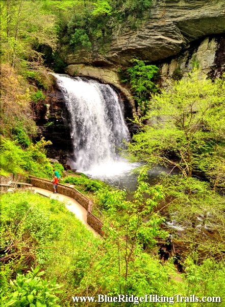
On your way to Brevard North Carolina on highway 64 there is an intersection whereabouts you take a left to Brevard on route 276 or  to go into the Pisgah Forest. Go straight at the light and follow 276 North. Follow the Davidson River on the left hand side and go a 5.6 miles. At the fork in the road stay right and Looking Glass Falls is up on the right hand side.Looking Glass Falls is in the Pisgah Forest and open to the public year round. This waterfall is one of the more popular falls due to the visibility from the road.The waterfall has one drop and is 60 feet tall. There is a step path that takes you to the bottom and the plunge pool where many people take pictures and video. Its also kid friendly, accessible by wheelchair at the upper view, and swimming is allowed at the base of the pool. Looking Glass Falls is a great motorcycle waterfall to ride up to take some memorable photos and move onto the next waterfall down the same road route 276.


Tips:

  • Kid Friendly
  • Upper View wheelchair access
  • Steps to the bottom
  • Swim at your own risk
  • Visible from the road

Photo Gallery

*Click on thumbnails for larger viewing and slideshow


Mount Jefferson State Park Hiking Trails-Ashe County-West Jefferson, NC

Mount Jefferson State Park Hiking Trails-Ashe County-West Jefferson, NC

IMG_7275


Trail head: West Jefferson, North Carolina
Distance: 1.7 miles
Duration: 1 hour
Skill Level: Easy/Moderate Hiking Trails


Overview:
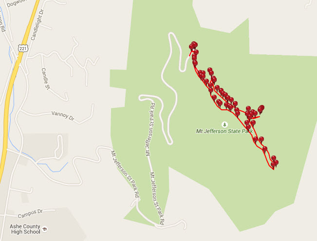
Mount Jefferson State Park Hiking Trails is located in West Jefferson North Carolina. The trail takes you from the parking lot where you can have a picnic up to the top of the ridge where the cell tower is and along certain outcroppings of rock where the views are picture perfect and worth a snapshot with the iPhone or camera. The the trail starts to follow its way back down the back side of the ridge and turning around headed back to the parking lot but at a lower elevation. It finally meets up with the main trail you started on going up tot the top of the ridge. This is definitely a great hike during a clear summer day or to see vast fall colors from the surrounding mountains.


Tips:
Make sure when you start up the hill you stop by the bathrooms before the hike.
If you decide to do all three hikes it takes a about an hour.

Mount Jefferson State Park trail Map
mount jefferson state park map


Photo Gallery

*Click on thumbnails for larger viewing and slideshow